
Demo
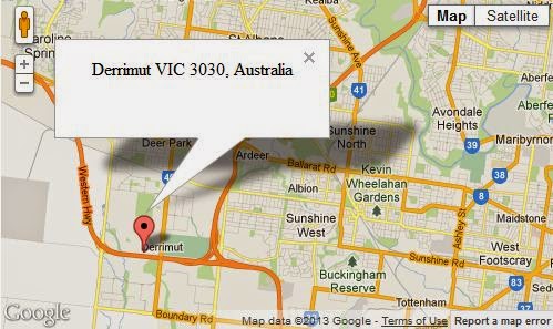
If you know the latitude and longitude of a particular location, you can get the relevant address details such as city, state, region, country...etc. This process is known as Reverse Geocoding. In this post I 'm gonna show you how this could be achieved with famous Google Map API. This entire post is based on one API request. Look at below code.
http://maps.googleapis.com/maps/api/geocode/json?latlng=-37.814251,144.963169&sensor=false
Enter above line in the browser bar to see a whole bunch of location details for the geographical point (-37.814251,144.963169) in lat lng format.
Pretty Simple. Here I'm using Google Map JavaScript API V3. All you need to do is to parse the json response to extract the information whatever you need.
jQuery.ajax({
url: 'http://maps.googleapis.com/maps/api/geocode/json?latlng=-37.814251,144.963169&sensor=false',
type: 'POST',
dataType: 'json',
success: function(data) {
if(data.status == 'OK')
{

alert(data.results[1].formatted_address);
alert(data.results[1].address_components[0].long_name);
alert(data.results[1].address_components[1].long_name);

}

},
error: function(xhr, textStatus, errorThrown) {
alert("Unable to resolve your location");

}
});


